Wednesday, April 13, 2016

Mt. Dean Stone

I'd like to be able to tell you how to get to this hike, but I really can't. I left from a friend's house, and may or may not have had to cross a barbed wire fence one or two times.  I'm not really sure, but I may have been on private property for some or all of this entire hike! Once I decided on breaking the law (can you hear "Judas Priest?"), I kind of went full throttle into it! So, if you'd really like to hike it, I'd be happy to be your guide. Otherwise I have to keep the approach, at least, a secret. 

To be honest, it's one of the "ugly" hikes.  Not that it's ugly at all, really, but the summit is crammed with communications towers and sheds and such.  I am generally disappointed when the top of a mountain is ruined in such a way, but at the same time, I like my cell phone, TV, and other electronic devices to work properly! 

So I'll post the pictures, even the ugly ones.  It was a fairly easy 3.5 miles up, with an elevation gain of 1929 feet. Also, except for the last half mile or so, dry ground. The packed snow at the end made it take a little extra time, but I was pleased to do it, as most of the rest of the mountains around here need skis or snowshoes to get to the top!


The beginning of our walk. My friend's rather obese dogs decide
to come with us....I was just hoping they could keep up

Some Bitterroot action

First tower....as far as I got the
first time I did this hike
Second Tower

The dogs were happy to find snow
and eat it...after a shared half my water!

There's a house up there?

Pretty sure this doesn't apply to me
This was pretty creepy...someone is living
here.  Solar panel, couple of nice little decks,
fire place.  Must be very reclusive. I was just
glad I had my gun.

Almost there!

And the rest of the way is covered in snow!


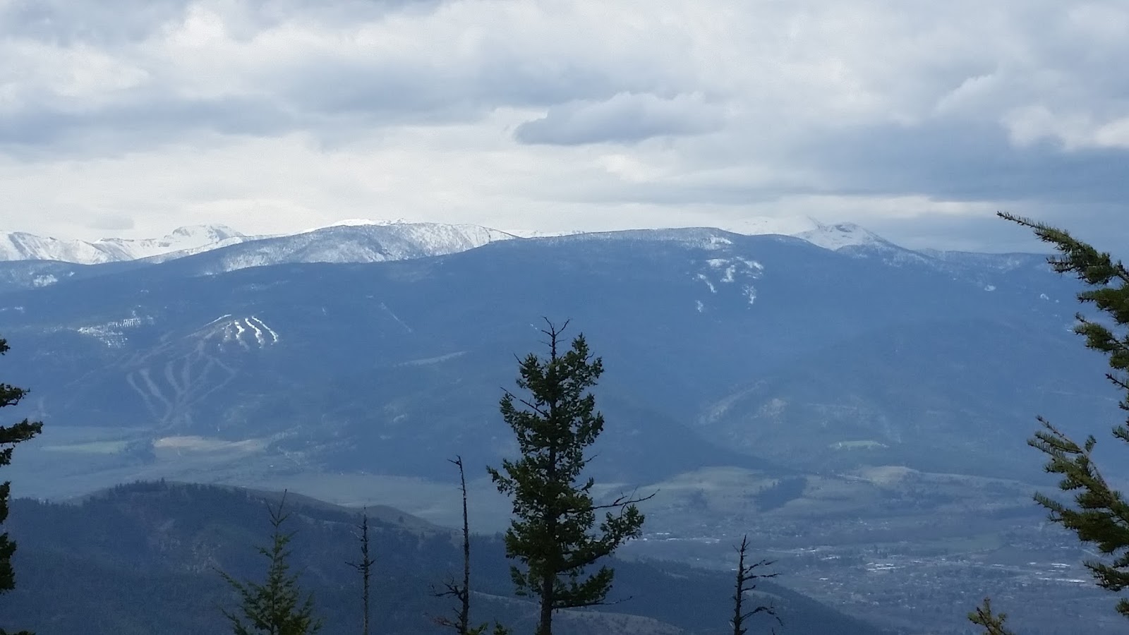
I did a panoramic at the top, just so I could get all the towers, etc. in the picture


Xena enjoyed running back and forth between me and the extra 
canine company on this trip!

Tuesday, April 12, 2016

Kootenai Creek

Kootenai Creek is one of the most popular hikes in the Bitterroot. I think for two reasons....It is a beautiful hike, and it's incredibly easy. It was easy enough to take my mother, who is rather arthritic these days and in a lot of pain, up for at least a half mile. So last week I went about 4 miles back on Sunday, then took my mom again mid week. You can hike on forever, though, depending on how much time you have.  There are several lakes way back there, which I admittedly have never been to....something to plan soon.

I've probably done this at least once a year for the past....I don't know how many years.  I know I've had both of my kids in my back pack at one time or another on this paticular hike.  I can also remember taking my German Shepherd, Wiley, on this hike several times, and he's been gone for a good 15 years. Anyway, enough of my history, there are just a bunch of great views from here that I hope come through in the pictures.  A lot of rock climbers were scrambling their way up the cliffs on both my Sunday and mid week hike. (They are always fun to watch!) 


Can you see the Garter Snake below?


Looking up is almost as pretty as looking down!


Rock Climbers!


The day I took my mom....she needed her purse so she could bring her phone and get pictures...She made me laugh!  I couldn't understand why she didn't just put it in a pocket!  Also saw a cute little toad hopping across the trail.  I have rarely seen any amphibians in Montana!


Tuesday, November 24, 2015

Piquett and Rombo Mountains

Piquett and Rombo Mountains are next to each other, and they share the same trail most of the way, which is why I decided to post these together. The day I did Rombo, I had actually planned on doing Piquett, but took the wrong fork where the path split. I only realized when I was at the top, and my navigation app started working again, that I was on the wrong mountain. No problem! It gave me another hike to do later. Rombo was about a five mile trip up, with 3261 feet of elevation gain.  A storm rolled in about half way up, and instead of praying to not be eaten by wildlife, I started praying I wouldn't be struck by lightning! It rolled right over me and I was sure I would see it hit somewhere close! I happily survived, though, so can share this with you!

The clouds looking ominous 
in these two pictures


This sign is where the trail splits.  I took the Piquett Ridge Trail...to Rombo Mountain. Piquett Mountain follows the Little Boulder Trail:


Looking up to Rombo Mountain from
where the trail splits

Pretty little creek I crossed several times


The resevoir just before reaching the trailhead

Some deer I met along the way:


For Piquett Mountain, my young friend, Lexi, joined me.  So it was basically the same hike except for the last mile or so. Piquett was 5.26 miles up, with an elevation gain of 3660 to end at 8837 feet.


Part of an old lookout?


Lexi after conquering the world!


Unfortunately, panaramics aren't done justice


Looking up towards Piquett from the where the trail splits

There were a few fallen trees that weren't here on my first trip up