Saturday, October 17, 2015

Sheafman Point

I am struggling to figure out a reason to post this hike. It was, by far, my least favorite hike ever.  I never thought I'd say something like that, but I can only say it was a beautiful day and I enjoyed the unseasonably warm, mid-October weather. I suppose I should have known better, as going off trail can bring all kinds of surprises. I read up on this and felt fine with it, but I should have read into it.

To start the hike, I found a gate that I didn't expect, which only added less than a half mile to it. Apparently, it is gated after Oct. 15th, this was the 16th. Well, that's no biggie, as far as I'm concerned. Then I stayed on the trail a bit too long, as I realized I was walking up Mill Creek...grrr, now I had to walk back uphill to a place that looked like a good spot to head up. As I did this, I kept hitting a trail and thought, wow, maybe there is a trail after all. Nope, it petered out after awhile, Oh well! Now I was walking up the ridge line and was getting some beautiful views of Mill Creek Canyon, but I was so close to the sheer cliff face I started experiencing some vertigo.  It was scary to me. It was so steep I kept visualizing myself slipping and falling down into the canyon with my last thought being, "so this is how I go." I tried to walk further away from the ledge, but this turned out to be a bad idea, as the brush was thigh high and nearly impossible to get through. I kept going, trying to calm my fear, but also wondering how I was going to get back down. When I finally reached a place that was high enough there was little brush, I felt a shortly lived relief. Now comes the hard part! There was nothing but deadfall from here on up. Climbing over tree after tree after tree is exhausting! There aren't too many times when I want to quit before I hit a summit, but this thought crept into my head several times. I pushed it away. And then I didn't. I was rather close to the summit, but as I looked up towards it, all I saw were dead trees. And I finally said to myself, "I'm done with this hike." 

The sun was starting to go down and I had already been hiking an hour over what I thought it would take me. I had seen the gated road across the way and thought it looked like it was close enough to get to and I could avoid the terror of falling off the mountain by heading over there. Of course, I had all those trees to climb over to get there, but I figured gashed up legs were better than a bashed in head. I swear, I thought I was being careful, but branches appeared out of nowhere and kept grabbing at my legs and shoelaces. I couldn't wait to get to that road! I had this image of a man, dying of thirst, and seeing an oasis in the distance. That's exactly how I was feeling! When I finally made it to the road, I had the most satisfying sense of relief. I didn't care that I had a few miles left to this day, I had a clear walking path the whole rest of the way!

I was rewarded by coming across some deer, and then a bald eagle. Unfortunately, I didn't realize the eagle was perched up in a standing, but dead, tree only about 100 feet from me until it was too late. He flew off, down a little way, to where a picture of him wasn't great.  Still took the pic, though! When I finally got almost to my Jeep, by some houses, I heard a grunting of some sort in the brush. Yikes! I couldn't see anything, but had my bear spray out, and my gun at the ready. I started yelling, to scare whatever it was away. I didn't even care if someone were outside their house, thinking I was a crazy woman. Suddenly some dogs started barking, and I figured I scared whatever it was over to them. As I heard some crashing through the brush up towards me, I felt an all encompassing panic. Out of the brush came two dogs.  Yay!  Just dogs! I was so happy to see them.  A collie just stood there and looked at me. A little guy, much like a pug, but without the pushed in face, finally stopped barking and escorted me the rest of the way to the Jeep.  I felt such a great sense of security with him there! I've been looking for a hiking partner in the canine family without success so far. I can't wait to find one! 

So I will end this post by saying I absolutely don't recommend this hike. Just learn from my mistakes. I can see how this would be great for those uphill skier types, but hiking it is unsatisfying. Still got some good pictures, though!
The gate I hadn't expected

Looking into Mill Creek Canyon

Trying to show the ledge I was hiking next to


Looking up into Mill Creek Canyon.

Looking up from where the only easy part of this hike was


Just look at all the deadfall

The road!
Looks like I got into a fight
with a mountain lion!


Just a few picures looking back up from the road


Not sure you can tell, but I was quite close to Sheafman Point when I decided I was done.  I stopped at an elevation of 7116. Sheafman Point is at 7830. My entire hike turned out to be 9.8 miles with an elevation gain of 2891. A good work out, I suppose, as I was in bed by 8:00 pm.

Thursday, October 15, 2015

Lolo Peak

I hiked Lolo Peak in late June of this year.  It was one of my favorites from this year, so thought this would be a worthy post. Take Hwy 12 from Lolo 3.8 miles, then a left onto Mormon Peak Rd. About 8 miles up is the sign at the trail head.  About a mile up the trail, there is another sign, where you'll want to stay on the left trail to Carlton Ridge. Once you reach the Vista Point, you'll go down the trail to Carlton Lake.  After going over the dam, you're on your own.  From here, I hiked up towards a saddle then stayed below the ridge as I worked my way towards North Lolo Peak.  Although there is a marker here, the actual high point is the Southern Peak.  Once atop the Northern Peak, it is an easy hike down, then up to the Southern, highest point of Lolo Peak.  I highly suggest coming back down in this same way.  The good thing about this hike is that you don't really need a navigation app.  You can see Carlton Lake pretty much the whole way.  My problem was coming down a different way. Since I could see the lake, I kind of made a bee line for it.  This turned out to be a bit more treacherous. It was steep and the rocks were sliding under my every footstep. I talked to God a few times, asking that this not be the day of my demise. I was almost certain I would end up at the bottom, under a pile of rock, never to be seen again! Thankfully, He didn't have immediate plans to judge my soul, and I made it down safely. If/when I do this one again, I will ignore the yen to shorten my hike, and come down the same way I went up.
The view from "Vista View"

Looking back down at Carlton Lake as I'm
getting closer to North Lolo Peak


I actually ended up hiking to the peak to the left of the saddle I was working on.  I found this lovely view of North One Horse Lake and Reed Lake. A little extra work was wonderfully rewarded!


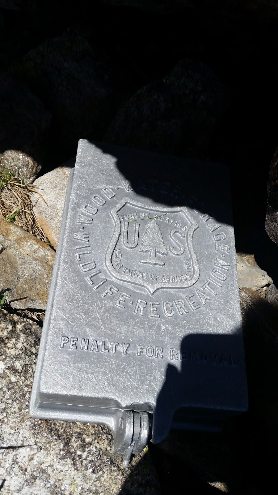
You will find these things (above) on North Lolo Peak.  This sign surprised me, as I know the mother of Ben Riley. The dates next to their names are, I believe, the dates of their passing. Next to the dates, "Forever Free." A somber moment, indeed. 


The incredible views atop south Lolo Peak:


Frequently, there are tons of ladybugs at the summits I've visited.  I always love to see them! And it just occurred to me, last year there were also tons of mosquitos at the summits, this year, I can't recall it being an issue at all. I should really know why that is!?
Safely back down at the lake, Phew!


This hike was just under 7 miles up, with an elevation gain of 4024 feet.  I made the mistake of turning off my phone because my battery was running VERY low....so it looks like I didn't summit South Lolo Peak.  Rest assured, I got there, I just forgot my app turns off along with the phone!


Thursday, October 8, 2015

Three Lakes Peak

I've been spending a lot of time in the Ninemile area recently, and this was no exception. Three Lakes Peak is just a little beyond Josephine Peak. I believe you can get there from Dixon, MT also, and although it would have been a shorter hike, it was a longer drive, and I was working with some time constraints, so opted for the shorter-drive-longer-hike route. As it turns out, it was too long for my time constraints, and because the summit was looming, I risked not showing up for work in order to hit the peak....that made it a little more expensive hike than I had planned! In my defense, however, I was nursing a cold, and felt a bit slower than normal. 
The drive in is much like McCormick Peak, or Josephine Peak. I have found this to be the easiest/fastest way to get there:
Take I-90 (from Missoula) to the Ninemile exit.  A right off the exit, then past the Ninemile house, take a right onto W. Ninemile Rd. At the end (about 4.4 miles) take a left.  At about 9.9 miles (5.5 from the McCormick turn off) you'll take a right up Rd. # 5498 and at about 4.75 miles is the sign for the Burnt Fork Trail. There is plenty of parking just before the trail.


The beginning of the hike and the colors are gorgeous in early October
  Above you can see many of the peaks I've summited this summer/fall: Josephine Peak, McCormick Peak, and the furthest away and most prominent, Ch-Paa-Qn Peak.
Below is the sign I wasn't so pleased to see.  After 3.5 miles, I realized I still had 2 miles to go, at which point I started picking up my pace.  


Count 'em, one, two, three!


On my way down, I noticed some of the not-so-pretty scenery.  Sometimes, while walking through burned out areas, it is eerily pretty, and it opens up to views you wouldn't otherwise see. This one, on the left, was not one of those. On the right, I finally looked down to see my Jeep...about a half hour after the time I should have been there. Oops!


I'm not sure if you can tell by this map, but I had stayed on the trail too long.  When I finally realized that, I made a detour straight up to the peak before Three Lakes Peak.  It was rather steep and rocky and I was thinking this was not the way to go. Also, I thought there was a trail straight up to the peak, and that I had somehow missed it. I was wrong there, too.  You just have to find a good place to go off trail and start up.  Once I hit the summit, I thought I'd come down where I thought the trail SHOULD be....another bad move. I started down, thinking I was going in the direction of the main trail. It took me a little while to realize I was headed down the wrong side of the ridge line. Without my navigation app, I surely would have gotten lost. I kind of sidled my way back over some steep, rather precariously rocky terrain to get back over the ridge, and onto the right side of the mountain, where I worked my way down till I hit the main trail. I was relieved, but now knew I would never get back to town in time. I also thought for a few moments about people who get lost out here, and why. I don't ever want to have Search and Rescue out looking for me, and so rely heavily on my phone.  Here's to never losing it again, or having the battery run out (I have back up power for it) or accidentally crushing it against rock. These things could ruin a person's day!


The actual elevation gain from the start of the trail to the top of Three Lakes Peak is 3364 feet.  It was an 11.9 mile trip for me, but could have been a touch shorter if I paid closer attention to my phone.  All in all, a great day to be running around in the mountains, but what day isn't? Happy hiking!